As expected, a low-pressure area has formed over the South-East Bay of Bengal which was located over the South Andaman Sea. The India Meteorological Department (IMD) has put it under watch for intensification of at least two rounds into the first pre-monsoon depression by Friday.
The Department of Meteorology and Hydrology, Myanmar, the nearest national forecasting agency as the crow flies, agreed saying the ‘low’ is anchored over the South Andaman Sea and adjoining South-East Bay, and may intensify over the Central Andaman Sea by Saturday afternoon.
The European Centre for Medium-Range Weather Forecasts (ECMWF-IFS-HRES) shows a weather system moving towards the Mergui Archipelago-Tavoy regions of southern Myanmar but not quite hitting the land. It will instead hover the neighbouring waters (North Andaman Sea), weakening in the process.
European agency outlook
Later, the weakened system may enter the mouth of the Irrawaddy river basin and splash the central parts of Myanmar with moderate to heavy rain. Interestingly, it is shown to spin off an offspring system back into the Bay of Bengal where it would find renewed traction and move towards the South Andhra Pradesh-North Tamil Nadu coast, bringing rain into Tamil Nadu and Kerala into the next week.
Short-to-medium-range model guidance from the IMD too supports an almost similar outlook during this period and so does the US National Centres for Environmental Prediction model. The IMD sees the atmospheric features over land also undergoing a churn on Thursday, intensifying pre-monsoon weather.
Troughs over land
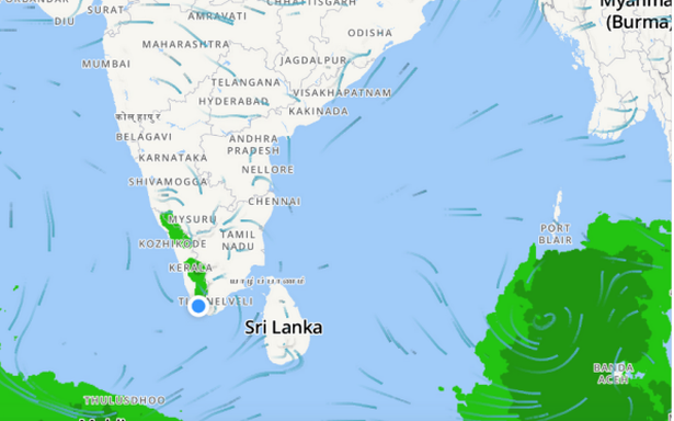
A North-South trough of lower pressure (and therefore weather-friendly) runs down from Jharkhand to North Coastal Andhra Pradesh. Another trough links North Interior Karnataka with South Kerala while a third cuts across Central Bay of Bengal in the South extending all the way into Jharkhand.
The IMD has forecast widespread to scattered rainfall over Andaman & Nicobar Islands during the next five days while it would be isolated heavy on Thursday. Isolated thunderstorms, lightning and gusty winds are also likely over the Andaman & Nicobar Islands during next two days.
Warning to fishermen
Fishermen are advised not to venture into the South Andaman Sea and adjoining Southeast Bay today and into the North Andaman Sea on Friday. Fairly widespread to widespread rainfall with isolated thunderstorms, lightning and gusty is likely over North-East India both Thursday and Friday.
Maximum day temperatures have fallen over most parts of North-West and Central India leading to abatement of heat wave conditions. Strong Surface Winds (speed reaching 30-40 km/hr) may blow across Punjab, Rajasthan, Haryana, Chandigarh, Delhi, Uttar Pradesh, Madhya Pradesh until Friday.